
▶ watch our property and construction showreel:
▶ Watch the drone construction time-lapse:

▶ WatcH THE time-lapse FOOTAGE AT MANCHESTER AIRPORT:
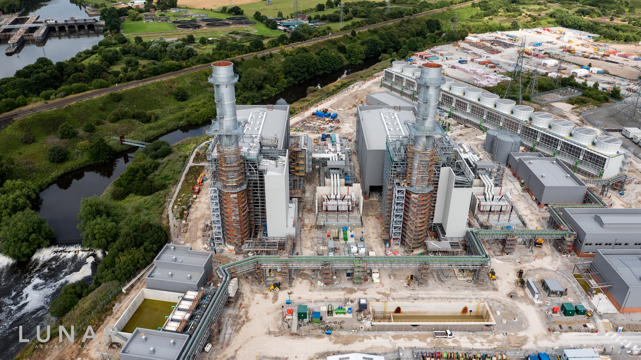
The benefits of drone imagery to the construction and related industries are becoming more and more obvious. It's a no brainer as to why...

1. A greater view point and resource from the drone
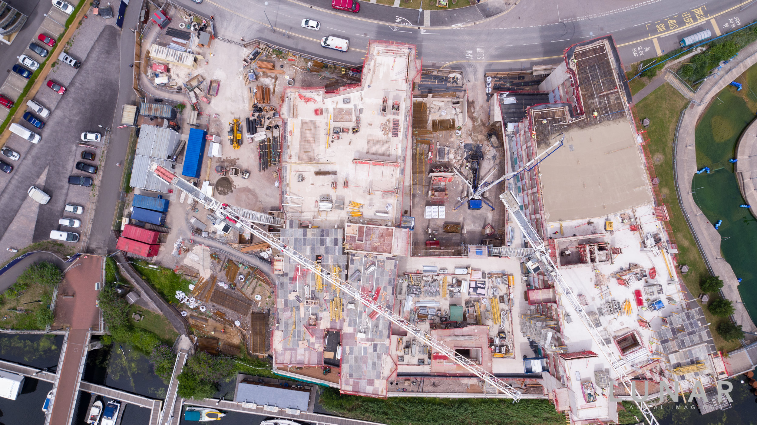
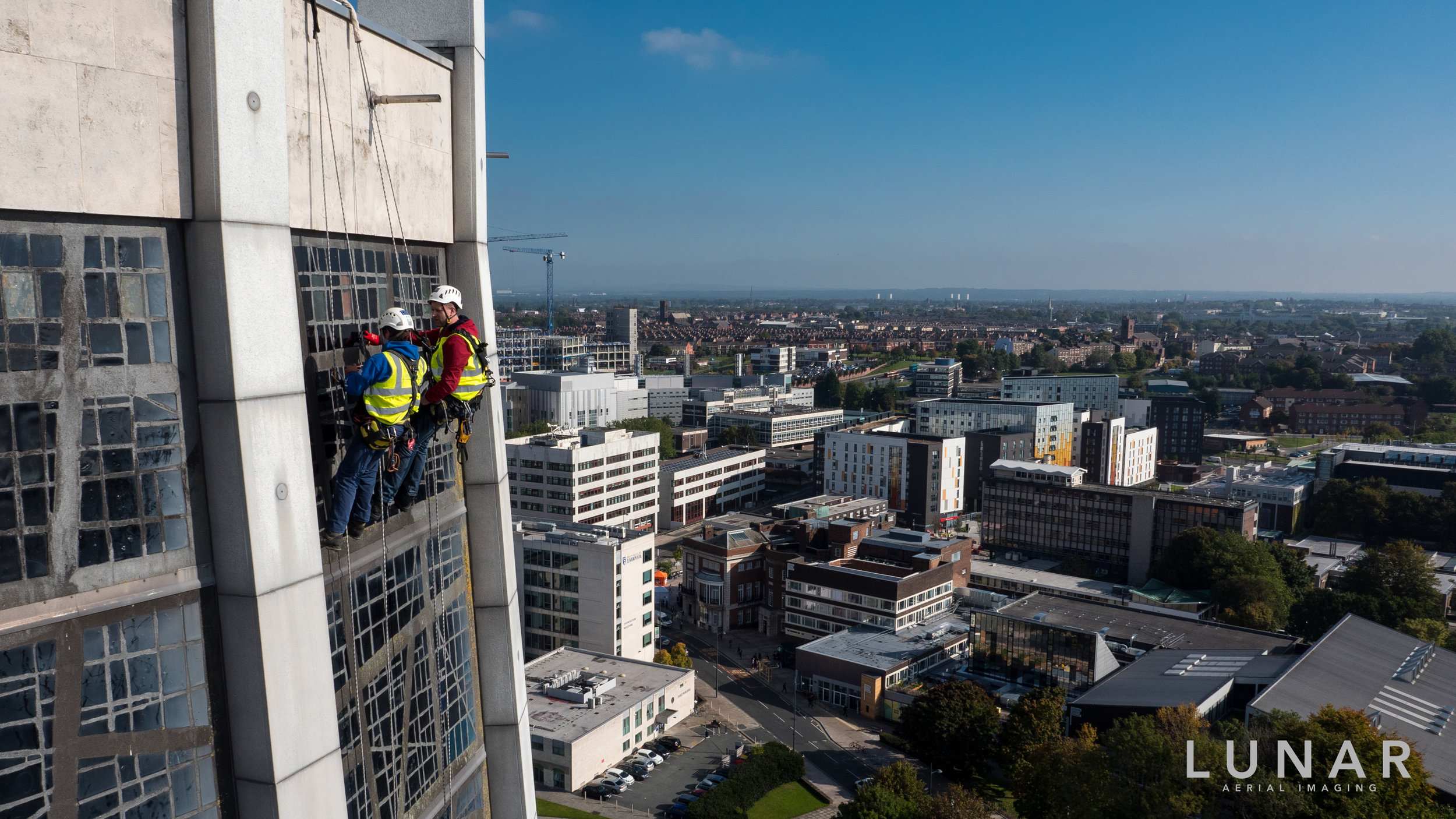
Drone surveys providing detailed overall picture of the lay of the land to property inspections and surveys help to capture views of what are usually hard to reach places such as high buildings, gutters, flat roofs, chimneys, skylights, and damaged structures. We can tie the images together in an easy to read format, using 3D software and photogrammetry.

2. Keep you and your workspace safe
Using the drone for safety assessments and work flow surveys such as initial drone survey of elevated work, and dangerous e.g. bridge, mines, church steeple. You can also be comfortable in the knowledge that we strictly follow the CAA guidelines and that safety and efficiency is paramount to Lunar Aerial Imaging.

3. Drones ease your communication processes and make you glow
We can provide drone progress shots; drone time lapses from all angles in detail, tracking the progress and preventing any disputes.
Using the drone footage you can take your clients and colleagues on journeys through video, stills, 3D images, CGIs, panoramas, and photogrammetry. At the end of the project we can provide you with a timelapse video of the build progress from start to finish.

4. Using drone imagery in construction can save you thousands of pounds
You will be able to get a selection of quotes and opinions, without the need for contractors to visit the site each time.
The images provide faster communication and understanding of any issues that require attention.
As well as the unnecessary costs of erecting scaffolding too early or for too long.

5. Help solve your problems
Use the drone images for your consultation processes - send out images of the area to all parties involved to get different recommendations and quotes. Immediate access and communication – great for those who aren’t always able to get to the site; a one minute video will quickly show clients, architects, surveyors and engineers the current status.

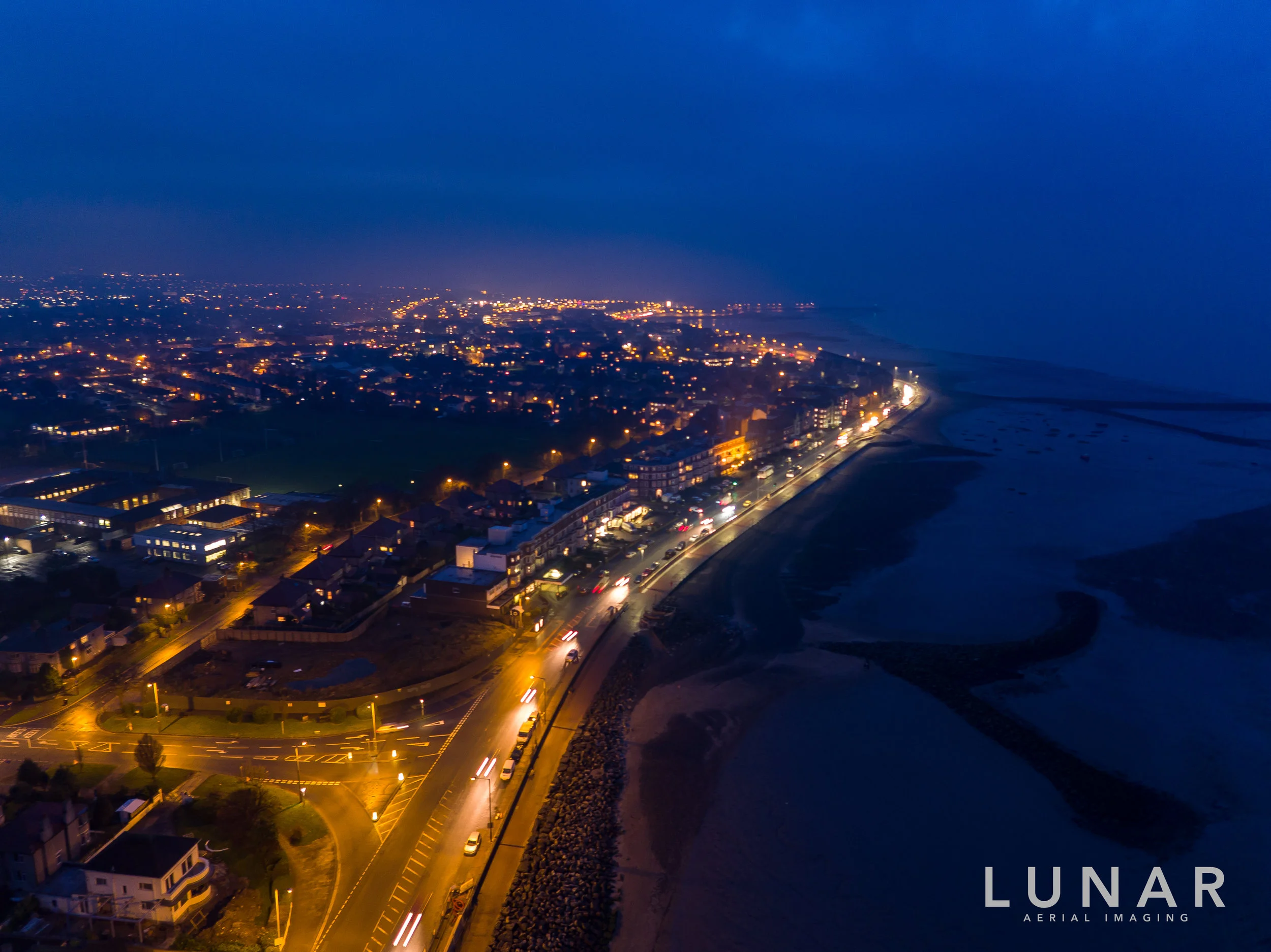
6. Brings added dimensions to PROPERTY marketing
The drone footage certainly adds that Wow! Factor. So much so that we have a whole new page dedicated to it.
Why Lunar?
Professional
Experienced
CSCS card holders
Covid safe business
Option of our 16m pole for the places the drone just can't fly
Safe and efficient
Case Studies